Dedication to a single goal has produced a body of work that has become the gold standard for charts of The Bahamas. When Monty Lewis first visited the islands of The Bahamas in 1974 it was evident that accurate information for navigation was difficult to come by. Ten years later he and his wife Sara began their lifelong pursuit of cruising and living aboard. Monty and Sara have worked side-by-side since to create the respected Explorer Chartbooks series.
Monty says, “We were fascinated by the Bahamas. There were no good charts of the areas we were cruising so we started making charts for ourselves. We were in Long Island and there were no detailed charts at all. We started sharing information with other boaters and used topographical maps as a reference to begin creating charts.”
 As their journeys and exploration prompted them to travel beyond the well-cruised waters of the typical destination to George Town, and before GPS and other electronic wonders of the 21st century, they sat down with local fishermen and salty cruising sailors, tracing vague routes on tissue paper and listening to stories of adventuresome travel to the Ragged Islands and the Bight of Acklins.
With the help of topographical maps from a British aerial survey in the 1960s and always a shoal-draft sailboat, trawler or powerboat, Monty registered the land properly and began making hydrographic soundings on a grid. Those initial hand-drawn Explorer charts eventually translated into digital versions that are the basis now for the entire Explorer Chartbooks series of 238 charts of original data. It was a labor of love and passion amid such pristine beauty that opened up The Bahamas as a cruising ground to a very special group of sea-lovers.
Monty grew up in the waters around Ocean City, Maryland, and he and Sara conducted summer day sailing trips for shoreside visitors in their sloop VIVACIOUS for 12 years. Monty held a U.S. Coast Guard License for more than 40 years and is a past commodore of the Eastern Shore Sailing Association and a retired Maryland State Police Sergeant. Sara’s background in English and journalism contributed to the authoritative layout and design of the chartbooks with the “Need-to-Know Info” and other articles embedded throughout the publications.
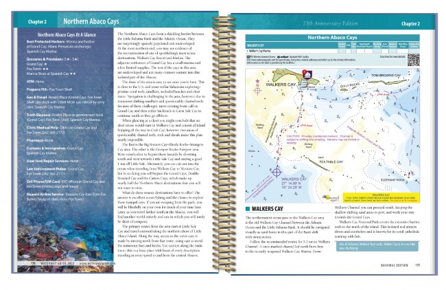
The company has forged important alliances and data sharing arrangements with some of the world’s leading electronic navigation chart (ENC) applications and cartographers including Aqua Map, C-Map, iNavX, OpenCPN, and TZ iBoat. The latest edition of Waterway Guide Media’s Bahamas cruising guidebook contains ninety new chart extracts provided by Explorer Chartbooks that complement the advice and insight of the Waterway Guide content. The chart extracts are identified by number and location for easy cross referencing to master charts contained in the Explorer Chartbooks series.
Sara says, “Monty has maintained the data and it’s the most accurate. As far as ongoing updates he’s finding ways to check details with new satellite imagery and mapping that we never had before. And today’s technology provides us with good reporting from others on the water, which adds to our knowledge base.”
Overall, reports from The Bahamas are that new businesses are springing up. Entry requirements are relaxing and returning to some semblance of normalcy. The Abacos is coming back as well following the devastation of the Hurricane Dorian in September 2019. Cruisers are helping, marinas are rebuilding and the Abacos is back on the itinerary for many boaters.
Boaters and adventurers headed to The Bahamas now have resources never before available due to the unflagging commitment to precision and accuracy contained in the Explorer Chartbooks series. Combined with Waterway Guide Media’s insight and details contained in the publisher’s books, apps and online platforms, a new generation of visitors can spend a little more time deciding where to go and less time worrying about how to get there.


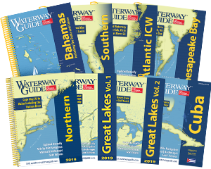
- 4,000 Marinas
- Thousands of anchorages
- Updated Charts
- Mile-by-Mile Navigation
- Highlighted Alerts & Cautions
- Full-Color Aerial Photographs
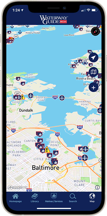
The Waterway Guide App Makes it easy to leave reviews, use our explorer, and view waterway guide materials all on the go!