Eleuthera, Bahamas
Eleuthera, Bahamas - A Preferred Boating Destination

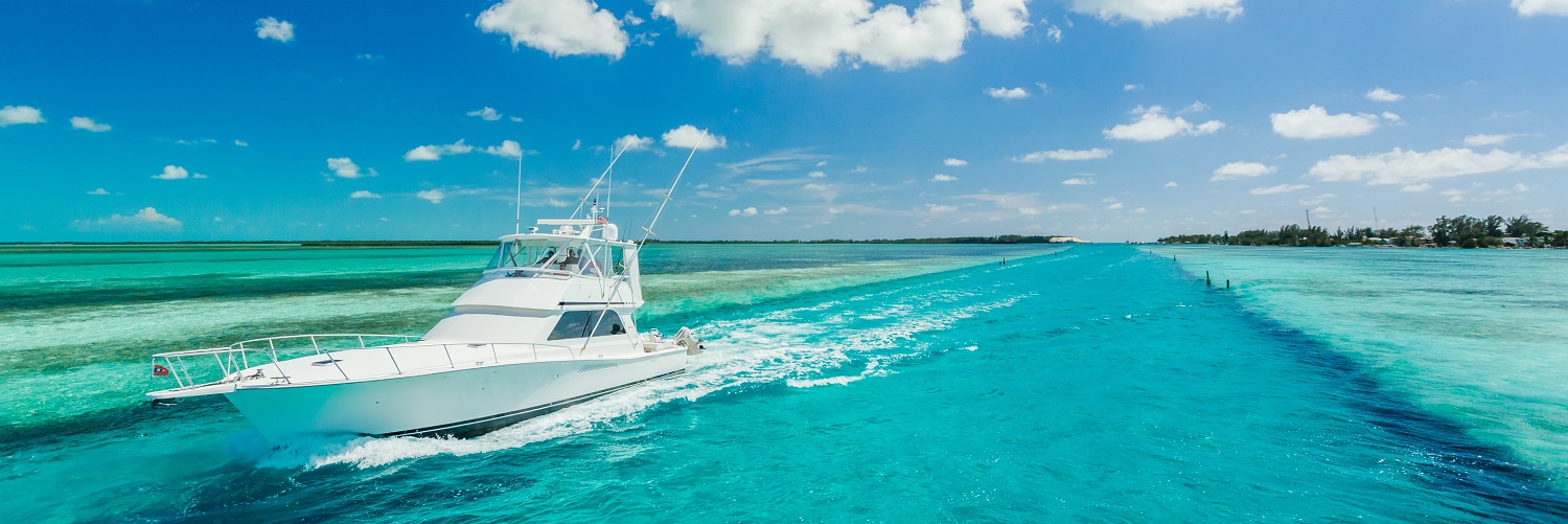
Eleuthera stretches 137 miles in a slender shape set between the deep Atlantic and the calm waters of the Eleuthera Bight, offering two distinctly different cruising experiences. The east side is dramatic, with cliffs, reefs, and wind-swept beaches, while the west side invites relaxed exploration with its shallow banks, protected coves, and easy anchoring. At the northern end, Spanish Wells and Harbour Island add energy and access, while the mainland remains quiet and unspoiled. With more than 130 beaches and just 11,000 residents, Eleuthera feels wonderfully untouched.
Marinas, Dockage, Service & Navigation
Plan your boating trip around Eleuthera, Bahamas. Browse marinas, dockage, service yards, and navigation alerts.
View More Information to Plan Your Boating Trip In The Explorer.


 Purchase a Guide
The Waterway Guide Team has gained extensive boating knowledge over the years, and now we are sharing all of the tips, skills and tools we’ve picked up along the way!
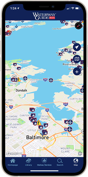
The Waterway Guide App makes it easy to leave reviews, use our Explorer, and view Waterway Guide materials, all on the go!


*In-App Purchases Available


